 |
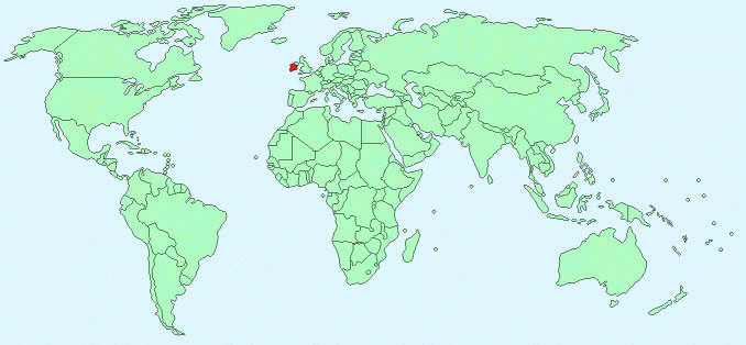
| Location of Ireland on the World Map |
- Island off Western Europe in the Atlantic Ocean
- Referred to as The Republic of Ireland or Eire
- Occupies 5/6 of the Island
- Northern Ireland is a part of the UK, which occupies the other 1/6 of the island
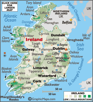 |
| Ireland Shown as an Independent Country |
- Covers 27,135 square miles (70,280 square kilometers)
- The capital of Ireland is Dublin
- Population as of 2000: 3,689,000
- Climate: Cool, Cloudy
- Major Rivers: Shannon River, The Blackwater River, The Suir River, The Lee River, and the Inny River
- Lowest Point: Sea Level
- Highest Point: Carrauntoohil (3,414 feet) (1,041m)
 |
| Shannon River |
- Division of the island was caused when the British Parliament passed Government of Ireland Act in 1920
- This created Northern Ireland and (then) Southern island, Southern Ireland was later named The Republic of Ireland
- 1801-1920: the whole island belonged to the Uk
- Before it was the separate Kingdom of Ireland
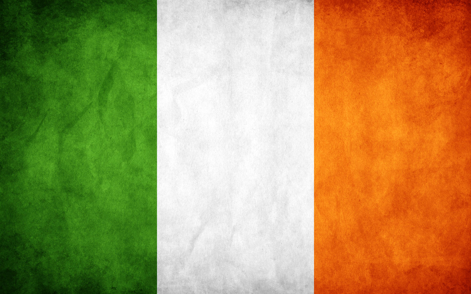 |
| National Flag of Ireland |
- Flag with 3 equal-sized sections of solid color (tricolor flag)
- Green (Left) White (Middle) Orange (Right)
- Twice as wide as it is tall
- First used in 1848
- Green side of flag closest to flagpole
- Green = Natives of Ireland (Roman Catholic majority)
- Orange = British settlers of Northern Ireland, settled in 17th century (Protestant majority), supporters of William of Orange
- White = Peace between the two groups
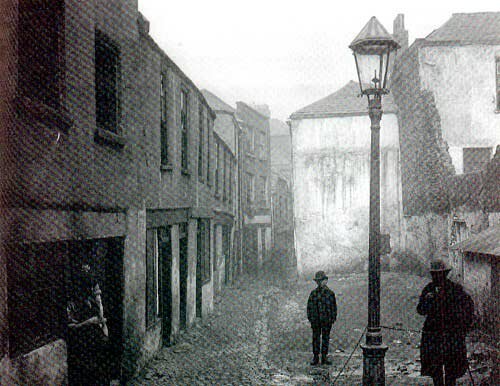 |
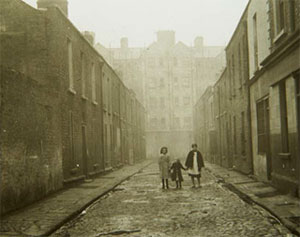
| Irish Slum |
 |
| Poverty in Ireland |